Old dog, etc
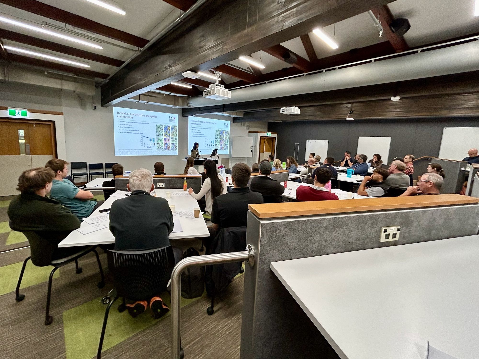
Yesterday I attended an introduction to “Artificial Intelligence in Forestry”* workshop at the School of Forestry, University of Canterbury. There were plenty of industry people, including some of I taught “a few” years ago.
I am mostly a quantitative genetics/stats person, but I keep my eyes open for anything that could be helpful dealing with my genetics trials, and have dabbled on using spatial things, LiDAR, etc. As I have pointed out in the past: 1. I am a sucker for entertaining problems and 2. old dogs can learn, albeit more slowly than 30 years ago, new tricks.
It was a nice opportunity to dip my toes in applications of machine learning for image analysis (detection and classification), mostly using ArcGis Pro and a short exercise using R. Funnily enough, my biggest barrier in the workshop was dealing with Windows + ArcGis. I am a Mac and Linux person, generally dealing with coding statistical analyses writing commands in text files. Most of my GIS related work is done via R (which I’ve been using since 1997) and any interactive work with maps using QGIS. Finding anything with point and click took me ages, until we got to the R part, which was hard for most people but kind of easy for yours truly.
Most importantly, having a chat with people and getting ideas to try with my data were the coolest part of the day. Thanks to Vega Xu, Justing Morgenroth and Ning Ye for organising the course!
*Confession: I dislike attaching the AI label to everything these days. Perhaps a better name would have been “Machine Learning in Forestry”. Small detail.